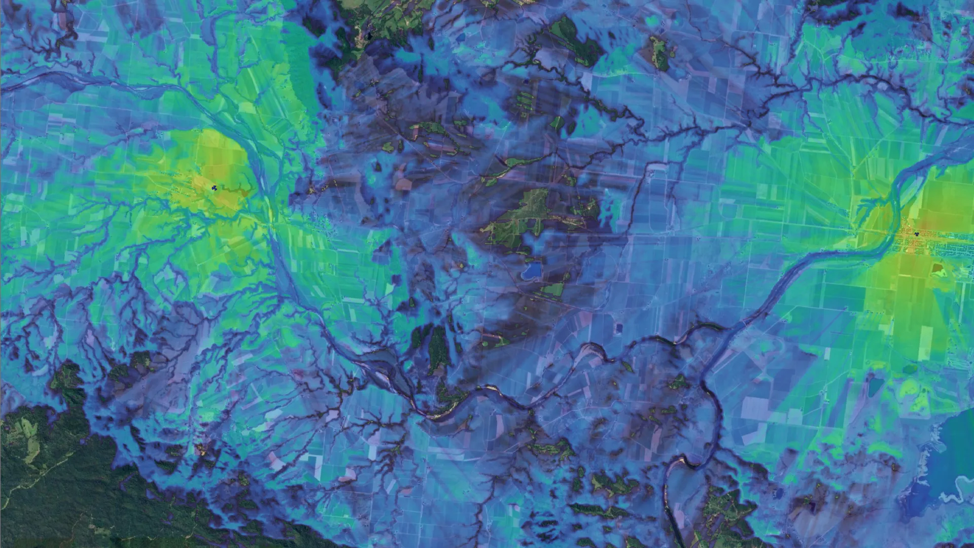
4G/5G Mobile Coverage Studies
Need to understand the expected mobile coverage at a particular location, across a wider region or under different network scenarios? We provide service-qualification reports, installation-feasibility assessments and population-coverage studies.
We can also model scenarios such as the potential effect of a nearby mobile site going offline or the expected coverage from a proposed new tower. These studies support developers, councils, site planners and other organisations making decisions that depend on reliable mobile-coverage information.
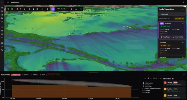
Bulk Location Analysis
When deploying equipment across dozens or hundreds of locations, understanding mobile-signal availability before dispatching technicians can save considerable time and cost.
We can analyse coverage across an entire site list and identify locations where connectivity may require further investigation or a specialised solution. This allows potential issues to be addressed during planning and helps reduce failed installations, return visits and rectification work during large-scale deployments.
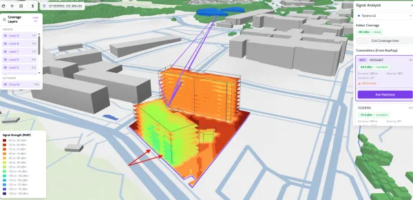
Greenfield Building Analysis
Addressing poor mobile coverage after a new building has been completed can be difficult and expensive. By modelling the proposed building and surrounding mobile environment during the design stage, potential internal coverage issues can be identified before construction begins.
This allows an In-Building Coverage or Distributed Antenna System to be considered as part of the original design, rather than added later as a costly retrofit.
Mesh WiFi & Critical Network Design
Large outdoor environments such as mine sites, industrial facilities and agricultural properties present unique wireless-network challenges. Terrain, vegetation, structures, distance and equipment density can all affect access-point placement and expected performance.
Using advanced simulation tools, we can assess feasibility and optimise equipment placement for mesh and mission-critical networks, including systems using Rajant and Silvus technology. Where current LiDAR survey data is available, it can be incorporated to provide a more detailed model of the site’s terrain and physical environment
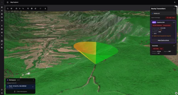
Link Design
Planning a point-to-point or point-to-multipoint wireless link? We can model the proposed path while considering terrain, vegetation, buildings and environmental conditions to assess feasibility, expected performance and suitable equipment.
For more information about the systems we design and install, visit our Point to Point Wireless Links page.